


CANAL FULTON CITY D Voting District, Stark County, Ohio
About
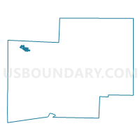
Outline

Summary
| Unique Area Identifier | 651847 |
| Name | CANAL FULTON CITY D Voting District |
| County | Stark County |
| State | Ohio |
| Area (square miles) | 1.29 |
| Land Area (square miles) | 1.26 |
| Water Area (square miles) | 0.03 |
| % of Land Area | 97.94 |
| % of Water Area | 2.06 |
| Latitude of the Internal Point | 40.88508390 |
| Longtitude of the Internal Point | -81.56936180 |
Maps


Graphs
Select a template below for downloading or customizing gragh for CANAL FULTON CITY D Voting District, Stark County, Ohio


Neighbors
Neighoring Voting District (by Name) Neighboring Voting District on the Map
- CANAL FULTON CITY A Voting District, Stark County, OH
- CANAL FULTON CITY B Voting District, Stark County, OH
- CANAL FULTON CITY C Voting District, Stark County, OH
- LAWRENCE TWP 6 Voting District, Stark County, OH
- LAWRENCE TWP 7 Voting District, Stark County, OH
- LAWRENCE TWP 8 Voting District, Stark County, OH